Introduction
3D scan and photogrammetry software converts real-world objects, environments, or scenes into accurate 3D digital models. Using techniques like image-based reconstruction or data from 3D scanners, these tools help transform physical assets into usable digital formats.
With the rise of digital twins, AR/VR, gaming, and industrial digitization, photogrammetry and 3D scanning tools are becoming increasingly important. They enable faster asset creation, reduce manual modeling effort, and improve accuracy in industries that rely on real-world data.
Common use cases include:
- Creating 3D assets for games and films
- Architecture and heritage preservation
- Industrial inspection and reverse engineering
- Surveying and mapping
- E-commerce product visualization
Key evaluation criteria:
- Accuracy and detail level
- Image processing capabilities
- Ease of use and workflow automation
- Hardware and camera compatibility
- Processing speed and performance
- Output formats and interoperability
- Scalability for large datasets
- Integration with CAD and modeling tools
- Pricing and licensing flexibility
Best for: Photographers, engineers, surveyors, game developers, researchers, and designers digitizing real-world objects.
Not ideal for: Users who only need basic 3D modeling without real-world data capture.
Key Trends in 3D Scan & Photogrammetry Software
- AI-assisted image reconstruction improving accuracy
- Cloud-based processing for large datasets
- Integration with AR/VR and digital twin platforms
- Automation of alignment and mesh generation
- Support for drone-based photogrammetry
- Real-time scanning and reconstruction
- Increased compatibility with mobile devices
- Improved texture mapping and realism
- Subscription-based pricing models
How We Selected These Tools (Methodology)
- Evaluated industry adoption and usage across sectors
- Assessed reconstruction accuracy and output quality
- Considered performance with large datasets
- Reviewed automation and ease of use
- Examined integration with CAD and 3D tools
- Included tools for beginners to enterprise users
- Analyzed hardware and camera compatibility
- Prioritized actively maintained solutions
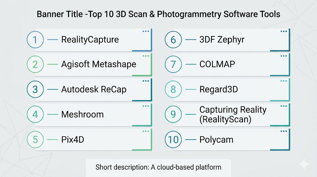
Top 10 3D Scan & Photogrammetry Software Tools
#1 — RealityCapture
Short description: A high-performance photogrammetry software known for fast processing and high accuracy.
Key Features
- Fast image processing
- High-resolution reconstruction
- Large dataset handling
- Accurate texture mapping
- Laser scan integration
Pros
- Extremely fast processing
- High-quality outputs
Cons
- Requires powerful hardware
- Paid licensing
Platforms / Deployment
Windows
Security & Compliance
Not publicly stated
Integrations & Ecosystem
Strong integration with professional workflows.
- File compatibility
- API support
- Pipeline integration
Support & Community
Active professional user base and documentation.
#2 — Agisoft Metashape
Short description: A widely used photogrammetry tool for creating detailed 3D models from images.
Key Features
- Dense point cloud generation
- Texture mapping
- GIS integration
- Automation tools
- Batch processing
Pros
- High accuracy
- Flexible workflows
Cons
- Learning curve
- Processing time for large datasets
Platforms / Deployment
Windows / macOS / Linux
Security & Compliance
Not publicly stated
Integrations & Ecosystem
Used across multiple industries.
- GIS tools
- File export options
- Plugin support
Support & Community
Strong global community and resources.
#3 — Autodesk ReCap
Short description: A 3D scanning and reality capture tool designed for architecture and construction workflows.
Key Features
- Laser scan processing
- Cloud-based workflows
- Integration with design tools
- Point cloud editing
Pros
- Strong integration with CAD tools
- Easy workflow for construction
Cons
- Limited advanced photogrammetry features
- Subscription model
Platforms / Deployment
Windows / Cloud
Security & Compliance
Not publicly stated
Integrations & Ecosystem
Deep integration with design ecosystems.
- CAD tools
- Cloud storage
- APIs
Support & Community
Professional support and documentation.
#4 — Meshroom
Short description: An open-source photogrammetry software with a node-based workflow.
Key Features
- Image-based reconstruction
- Node-based processing
- GPU acceleration
- Free and open-source
Pros
- Free to use
- Flexible workflow
Cons
- Requires technical knowledge
- Hardware dependent
Platforms / Deployment
Windows / Linux
Security & Compliance
Not publicly stated
Integrations & Ecosystem
Open ecosystem for customization.
- Plugin support
- File compatibility
Support & Community
Active open-source community.
#5 — Pix4D
Short description: A professional photogrammetry software focused on mapping and surveying.
Key Features
- Drone mapping
- GIS integration
- Cloud processing
- Accurate measurements
Pros
- Industry-grade accuracy
- Strong mapping features
Cons
- Expensive
- Complex setup
Platforms / Deployment
Windows / Cloud
Security & Compliance
Not publicly stated
Integrations & Ecosystem
Strong integration with surveying workflows.
- GIS tools
- APIs
- Cloud services
Support & Community
Professional support and training resources.
#6 — 3DF Zephyr
Short description: A photogrammetry software offering a balance of ease of use and advanced features.
Key Features
- Automated reconstruction
- Texture generation
- Editing tools
- Multi-camera support
Pros
- User-friendly
- Good performance
Cons
- Limited free version
- Feature restrictions
Platforms / Deployment
Windows
Security & Compliance
Not publicly stated
Integrations & Ecosystem
Moderate ecosystem support.
- File exports
- Plugin support
Support & Community
Growing community.
#7 — COLMAP
Short description: An open-source photogrammetry tool designed for research and advanced users.
Key Features
- Structure-from-motion
- Multi-view stereo
- High customization
- Command-line interface
Pros
- Highly flexible
- Free
Cons
- Not beginner-friendly
- Limited UI
Platforms / Deployment
Windows / macOS / Linux
Security & Compliance
Not publicly stated
Integrations & Ecosystem
Research-focused ecosystem.
- API support
- Custom workflows
Support & Community
Academic and developer community.
#8 — Regard3D
Short description: A free photogrammetry software for creating 3D models from images.
Key Features
- Image alignment
- Point cloud generation
- Mesh creation
- Open-source
Pros
- Free
- Simple workflows
Cons
- Limited features
- Slower processing
Platforms / Deployment
Windows / macOS / Linux
Security & Compliance
Not publicly stated
Integrations & Ecosystem
Basic ecosystem.
- File compatibility
- Open-source tools
Support & Community
Smaller community.
#9 — Capturing Reality (RealityScan)
Short description: A mobile-focused photogrammetry tool for quick 3D scanning.
Key Features
- Mobile scanning
- Cloud processing
- Fast model generation
- Easy sharing
Pros
- Easy to use
- Mobile-friendly
Cons
- Limited advanced features
- Requires internet
Platforms / Deployment
Mobile / Cloud
Security & Compliance
Not publicly stated
Integrations & Ecosystem
Mobile-first ecosystem.
- Cloud services
- Export tools
Support & Community
Growing user base.
#10 — Polycam
Short description: A mobile and web-based 3D scanning tool for quick captures and visualization.
Key Features
- LiDAR scanning
- Photogrammetry
- Mobile-first design
- Cloud sync
Pros
- Very easy to use
- Fast results
Cons
- Limited professional features
- Device dependent
Platforms / Deployment
iOS / Android / Web
Security & Compliance
Not publicly stated
Integrations & Ecosystem
Focused on mobile workflows.
- Cloud storage
- Export formats
Support & Community
Active mobile user community.
Comparison Table (Top 10)
| Tool Name | Best For | Platform(s) Supported | Deployment | Standout Feature | Public Rating |
|---|---|---|---|---|---|
| RealityCapture | Professionals | Windows | Self-hosted | Fast processing | N/A |
| Metashape | Researchers | Win/macOS/Linux | Self-hosted | Accuracy | N/A |
| ReCap | Construction | Win/Cloud | Hybrid | CAD integration | N/A |
| Meshroom | Developers | Win/Linux | Self-hosted | Open-source | N/A |
| Pix4D | Surveying | Win/Cloud | Hybrid | Mapping | N/A |
| 3DF Zephyr | Mixed users | Windows | Self-hosted | Ease + features | N/A |
| COLMAP | Advanced users | Win/macOS/Linux | Self-hosted | Customization | N/A |
| Regard3D | Beginners | Win/macOS/Linux | Self-hosted | Free tool | N/A |
| RealityScan | Mobile users | Mobile/Cloud | Cloud | Mobile scanning | N/A |
| Polycam | Creators | iOS/Android/Web | Cloud | LiDAR support | N/A |
Evaluation & Scoring of 3D Scan & Photogrammetry Software
| Tool Name | Core (25%) | Ease (15%) | Integrations (15%) | Security (10%) | Performance (10%) | Support (10%) | Value (15%) | Weighted Total |
|---|---|---|---|---|---|---|---|---|
| RealityCapture | 10 | 7 | 8 | 6 | 10 | 8 | 7 | 8.6 |
| Metashape | 9 | 7 | 8 | 6 | 9 | 8 | 7 | 8.2 |
| ReCap | 8 | 8 | 9 | 6 | 8 | 8 | 7 | 8.1 |
| Meshroom | 7 | 6 | 7 | 5 | 7 | 7 | 10 | 7.4 |
| Pix4D | 10 | 6 | 9 | 6 | 9 | 8 | 6 | 8.2 |
| 3DF Zephyr | 8 | 8 | 7 | 5 | 8 | 7 | 7 | 7.7 |
| COLMAP | 9 | 5 | 7 | 5 | 8 | 7 | 10 | 7.6 |
| Regard3D | 6 | 7 | 6 | 5 | 6 | 6 | 9 | 6.7 |
| RealityScan | 6 | 9 | 6 | 5 | 7 | 6 | 8 | 7.0 |
| Polycam | 7 | 9 | 6 | 5 | 7 | 7 | 8 | 7.3 |
How to interpret scores:
- Scores are comparative, not absolute
- Higher scores indicate stronger overall performance
- Some tools excel in niche use cases
- Choose based on your specific needs
Which 3D Scan & Photogrammetry Software Is Right for You?
Solo / Freelancer
Meshroom, Polycam, or RealityScan are great for affordability and ease of use.
SMB
3DF Zephyr and Metashape provide a balance of features and usability.
Mid-Market
RealityCapture and Pix4D offer strong performance and scalability.
Enterprise
ReCap and Pix4D are ideal for large-scale and professional workflows.
Budget vs Premium
- Budget: Meshroom, COLMAP
- Premium: Pix4D, RealityCapture
Feature Depth vs Ease of Use
- Feature depth: RealityCapture, Pix4D
- Ease of use: Polycam, RealityScan
Integrations & Scalability
- Strong: ReCap, Pix4D
- Moderate: Metashape, Zephyr
Security & Compliance Needs
Organizations should evaluate access controls and data handling policies.
Frequently Asked Questions (FAQs)
What is photogrammetry?
It is the process of creating 3D models from photographs.
Do I need special hardware?
A good camera and GPU help improve results.
Are there free tools available?
Yes, Meshroom and COLMAP are popular free options.
Can I use a phone for scanning?
Yes, mobile tools like Polycam support this.
How accurate are these tools?
Accuracy depends on input quality and processing.
Can I process large datasets?
Some tools are optimized for large-scale projects.
Is cloud processing common?
Yes, especially for heavy workloads.
Can I integrate with CAD tools?
Many tools support CAD integration.
How long does processing take?
Depends on dataset size and hardware.
What are common mistakes?
Poor image quality and insufficient coverage.
Conclusion
3D scan and photogrammetry software are transforming how real-world objects are digitized and used in digital workflows. From mobile apps to enterprise-grade platforms, these tools offer a wide range of capabilities for different users.